Visitor maps without apps
Improve visitor navigation with a digital map that easy to update and even easier to share.
-
View and edit in an internet browser on any device - from desktop computers to tablets and phones.
-
Give visitors one resource to enjoy a range of outdoor recreation activities, as well as easy-to-update listings for frontcountry visitor resources like restaurants and lodging.
-
Once the map is loaded in your browser, you can take the map offline to help stay on the trail.
-
Press publish to put important emergency and area closure updates on the map people are already using, and give them an online resource to check for updates to paper maps.
-
Keep the look consistent with your branding by changing the header logo, and restricting the zoom to your region only.


See An Example
Use Cases
-
![]()
Visitor Centres
Interactive maps that can help you replace expensive kiosk software, sell your own local advertisements with tracking, and make real-time, locally-validated info easily available to visitors before they arrive.
Available 24/7
Includes Accessibility Info
Clearly Communicate Advisories
-
![]()
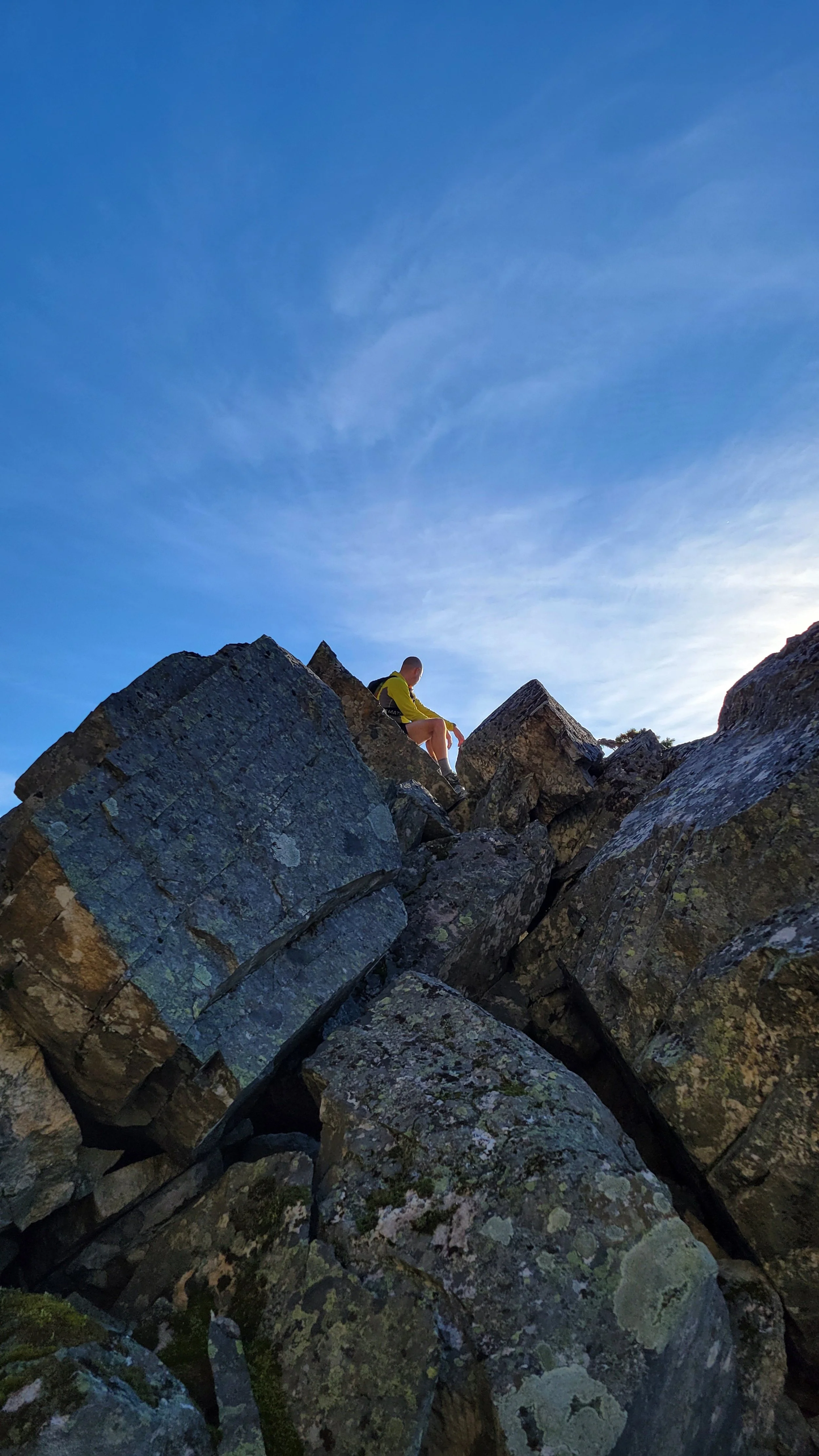
Outdoor Resorts
Let skiers and riders see their location on an updated trail map when they have cell coverage or wifi, and then take the map with them on their phones when they leave service. Customize the digital maps with your own branding, and make it straightforward to call patrol and give exact location info if things go south.
Highlight Amenities
No User Subscription
Support for Trails
-
![]()
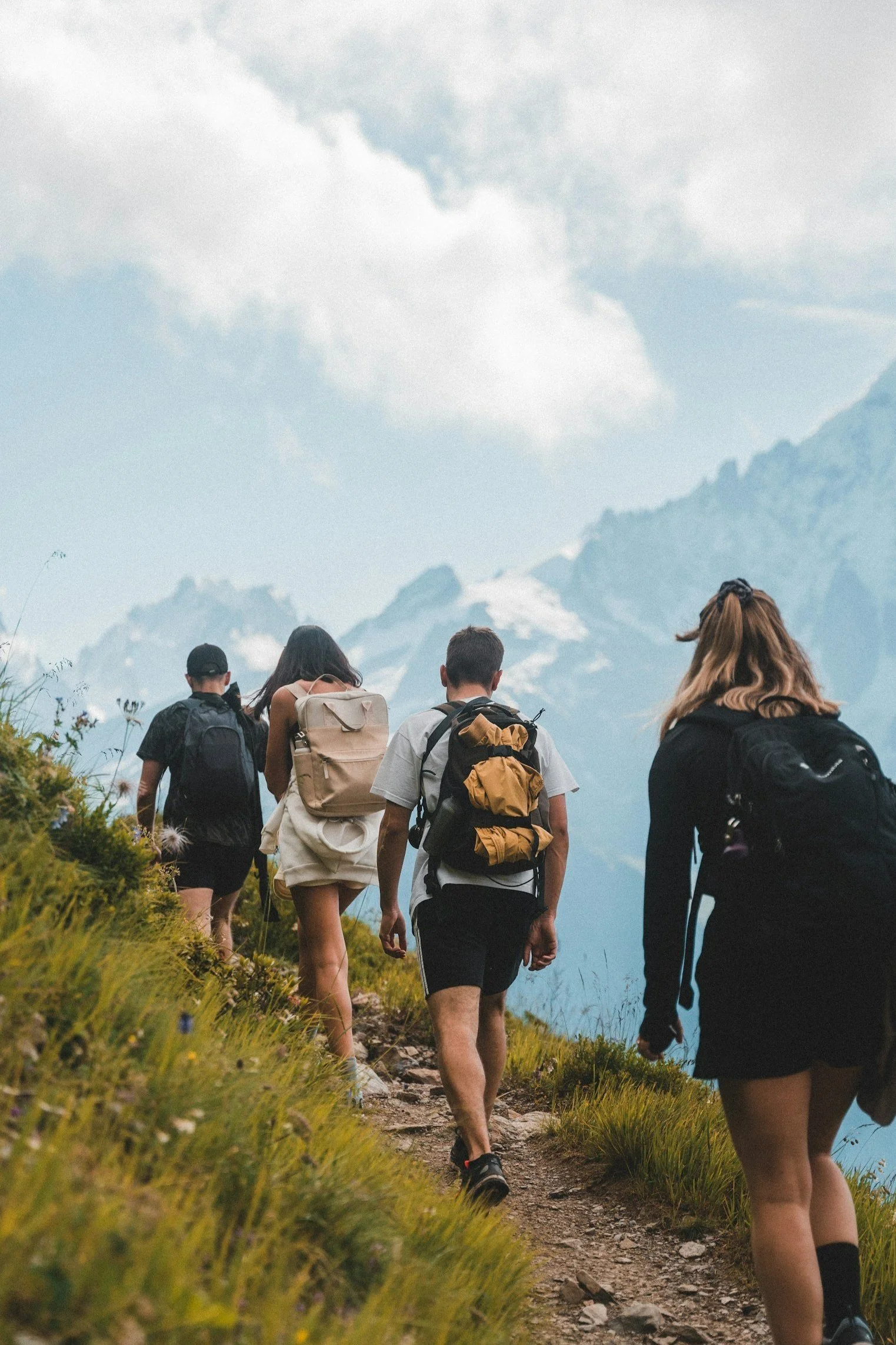
Trail Networks
Give volunteers and over-burdened staff an easy tool to communicate important land use restrictions and help visitors do the right thing. Plus, centralize trail info for different activities, and from different management organizations on one map.
Communicate Closures
Give Detailed Info
Sells Local Ads, Give Back to Sponsors

Why
As people who love outdoor recreation, from running and skiing to dog walk and biking, it was always a struggle to find updated trail info for areas we enjoy visiting.
Since rural economies often depend on visitors coming for outdoor recreation, this problem has bigger impacts than ruining vacations.
We created customizable local maps that are easy to access for everyone who enjoys the trails. Our goal is to help visitors discover new areas, help all trail users understand the rules and maintain public access, and make it easier for trail managers to share updates.